
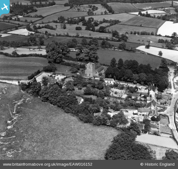
EAW016152 ENGLAND (1948). St George's Church and the village, Woolhope, 1948. This image has been produced from a print.
© Copyright OpenStreetMap contributors and licensed by the OpenStreetMap Foundation. 2026. Cartography is licensed as CC BY-SA.
Nearby Images (4)
EAW016152

EAW016150

EAW016151

EAW016149
, Woolhope, 1948. This image has been produced from a damaged negative.")
Details
| Title | [EAW016152] St George's Church and the village, Woolhope, 1948. This image has been produced from a print. |
| Reference | EAW016152 |
| Date | 21-May-1948 |
| Link | |
| Place name | WOOLHOPE |
| Parish | WOOLHOPE |
| District | |
| Country | ENGLAND |
| Easting / Northing | 361136, 235773 |
| Longitude / Latitude | -2.566404826927, 52.018593569764 |
| National Grid Reference | SO611358 |
Pins
Be the first to add a comment to this image!