
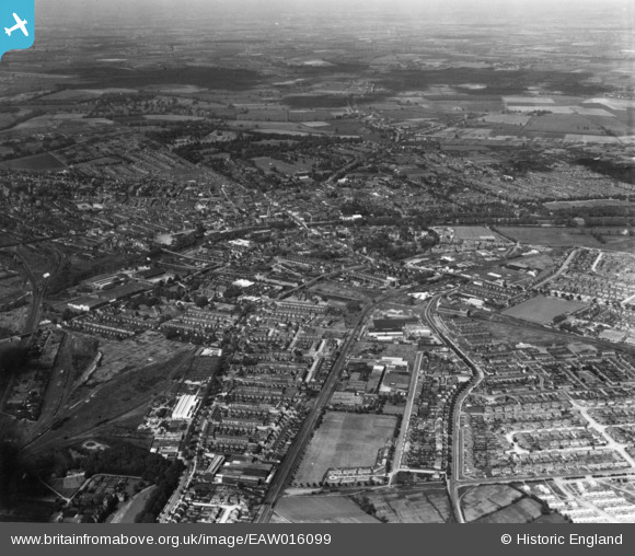
EAW016099 ENGLAND (1948). The town, Bedford, from the south, 1948. This image has been produced from a print.
© Copyright OpenStreetMap contributors and licensed by the OpenStreetMap Foundation. 2026. Cartography is licensed as CC BY-SA.
Nearby Images (16)
EAW016099

EAW023994

EAW023991

EAW023987

EAW023993

EAW023989

EAW021842

EAW023988

EAW023995

EAW021847

EAW023992

EAW021848

EAW023990

EAW021843

EAW021845

EAW021844

Details
| Title | [EAW016099] The town, Bedford, from the south, 1948. This image has been produced from a print. |
| Reference | EAW016099 |
| Date | 21-May-1948 |
| Link | |
| Place name | BEDFORD |
| Parish | |
| District | |
| Country | ENGLAND |
| Easting / Northing | 504839, 248251 |
| Longitude / Latitude | -0.46849461625752, 52.122207124283 |
| National Grid Reference | TL048483 |


