
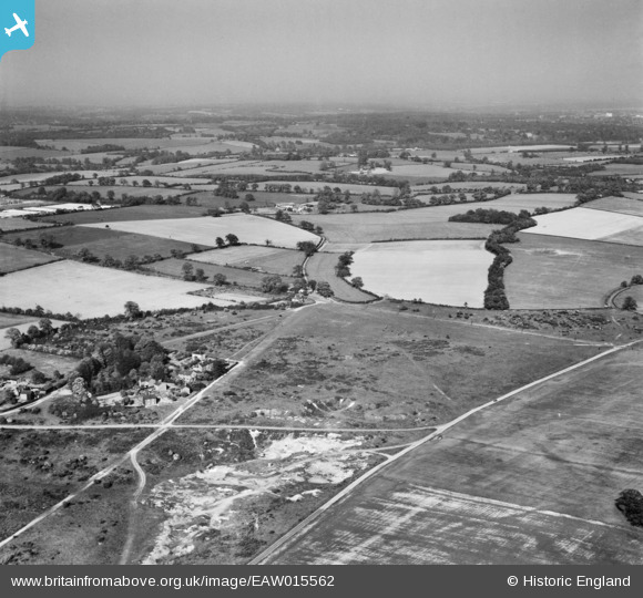
EAW015562 ENGLAND (1948). Nomansland Common and the surrounding countryside, Sandridge, from the west, 1948
© Copyright OpenStreetMap contributors and licensed by the OpenStreetMap Foundation. 2026. Cartography is licensed as CC BY-SA.
Nearby Images (3)
EAW015562

EAW003633

EAW015563

Details
| Title | [EAW015562] Nomansland Common and the surrounding countryside, Sandridge, from the west, 1948 |
| Reference | EAW015562 |
| Date | 13-May-1948 |
| Link | |
| Place name | SANDRIDGE |
| Parish | SANDRIDGE |
| District | |
| Country | ENGLAND |
| Easting / Northing | 517114, 212466 |
| Longitude / Latitude | -0.30146356094038, 51.798113416987 |
| National Grid Reference | TL171125 |
Pins

DavidR |
Sunday 22nd of December 2019 06:32:47 PM |