
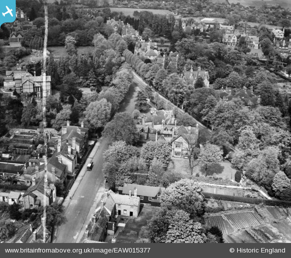
EAW015377 ENGLAND (1948). Harrison's Road and 55 Richmond Hill Road, Edgbaston, 1948. This image was marked by Aerofilms Ltd for photo editing.
© Copyright OpenStreetMap contributors and licensed by the OpenStreetMap Foundation. 2025. Cartography is licensed as CC BY-SA.
Nearby Images (3)
EAW015377

EAW015376

EAW015378

Details
| Title | [EAW015377] Harrison's Road and 55 Richmond Hill Road, Edgbaston, 1948. This image was marked by Aerofilms Ltd for photo editing. |
| Reference | EAW015377 |
| Date | 6-May-1948 |
| Link | |
| Place name | EDGBASTON |
| Parish | |
| District | |
| Country | ENGLAND |
| Easting / Northing | 404457, 284663 |
| Longitude / Latitude | -1.9343968897953, 52.45952514459 |
| National Grid Reference | SP045847 |
Pins

redmist |
Monday 1st of November 2021 07:01:39 PM |
