
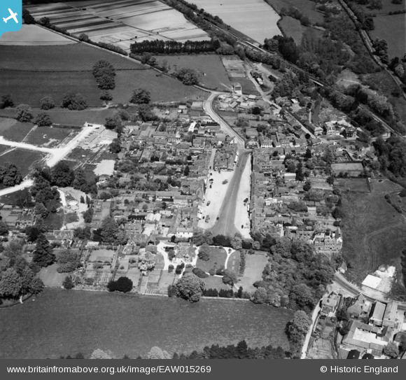
EAW015269 ENGLAND (1948). The Square and the town, Wickham, 1948
© Copyright OpenStreetMap contributors and licensed by the OpenStreetMap Foundation. 2026. Cartography is licensed as CC BY-SA.
Nearby Images (2)
EAW015269

EAW015270

Details
| Title | [EAW015269] The Square and the town, Wickham, 1948 |
| Reference | EAW015269 |
| Date | 6-May-1948 |
| Link | |
| Place name | WICKHAM |
| Parish | WICKHAM |
| District | |
| Country | ENGLAND |
| Easting / Northing | 457216, 111497 |
| Longitude / Latitude | -1.1862759904094, 50.899559021021 |
| National Grid Reference | SU572115 |
Pins

Stephen Mirrington |
Wednesday 25th of August 2021 11:47:58 AM |