
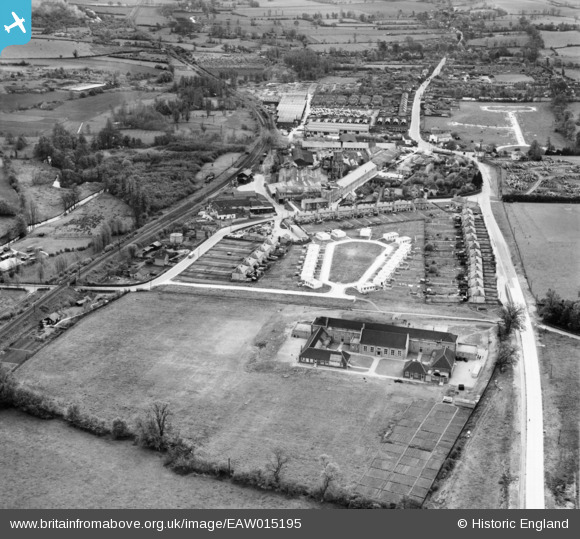
EAW015195 ENGLAND (1948). Christmas Field Estate and the village, Sible Hedingham, 1948
© Copyright OpenStreetMap contributors and licensed by the OpenStreetMap Foundation. 2026. Cartography is licensed as CC BY-SA.
Nearby Images (4)
EAW015195

EAW015194

EAW015193

EPW025965

Details
| Title | [EAW015195] Christmas Field Estate and the village, Sible Hedingham, 1948 |
| Reference | EAW015195 |
| Date | 5-May-1948 |
| Link | |
| Place name | SIBLE HEDINGHAM |
| Parish | SIBLE HEDINGHAM |
| District | |
| Country | ENGLAND |
| Easting / Northing | 577961, 234903 |
| Longitude / Latitude | 0.59178921595367, 51.983610153405 |
| National Grid Reference | TL780349 |
Pins
Be the first to add a comment to this image!