
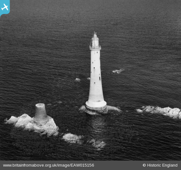
EAW015156 ENGLAND (1948). Eddystone Lighthouse and the foundations of Smeaton's Tower, Plymouth, 1948
© Copyright OpenStreetMap contributors and licensed by the OpenStreetMap Foundation. 2026. Cartography is licensed as CC BY-SA.
Nearby Images (3)
EAW015156

EAW015155

EAW015154

Details
| Title | [EAW015156] Eddystone Lighthouse and the foundations of Smeaton's Tower, Plymouth, 1948 |
| Reference | EAW015156 |
| Date | 29-April-1948 |
| Link | |
| Place name | PLYMOUTH |
| Parish | MAKER-WITH-RAME |
| District | |
| Country | ENGLAND |
| Easting / Northing | 238181, 33988 |
| Longitude / Latitude | -4.2668722024795, 50.183160623745 |
| National Grid Reference | SX382340 |
Pins
Be the first to add a comment to this image!