
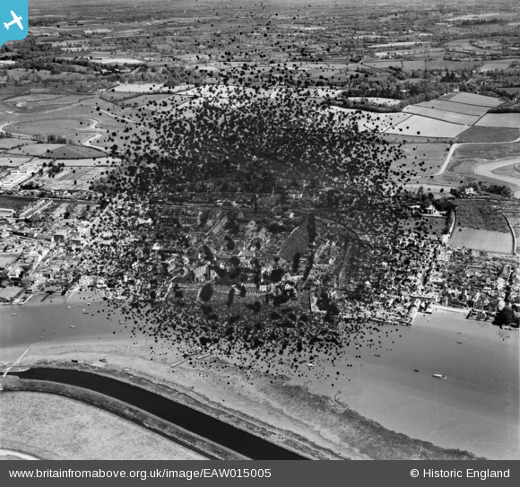
EAW015005 ENGLAND (1948). The town, Topsham, 1948. This image has been produced from a damaged negative.
© Copyright OpenStreetMap contributors and licensed by the OpenStreetMap Foundation. 2026. Cartography is licensed as CC BY-SA.
Nearby Images (5)
EAW015005

EPW033423

EPW033427

EPW033425

EPW033426
 on Parkfield Road, Topsham, 1930")
Details
| Title | [EAW015005] The town, Topsham, 1948. This image has been produced from a damaged negative. |
| Reference | EAW015005 |
| Date | 27-April-1948 |
| Link | |
| Place name | TOPSHAM |
| Parish | |
| District | |
| Country | ENGLAND |
| Easting / Northing | 296716, 88120 |
| Longitude / Latitude | -3.4621506571366, 50.682980914583 |
| National Grid Reference | SX967881 |
Pins
Be the first to add a comment to this image!