
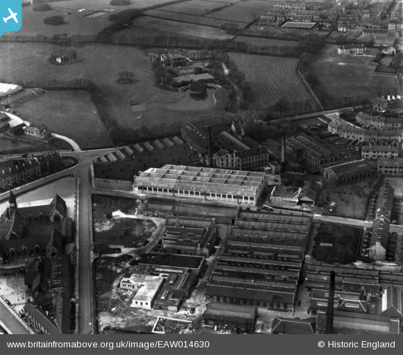
EAW014630 ENGLAND (1948). Plover Mills and environs, Lindley, 1948. This image has been produced from a print.
© Copyright OpenStreetMap contributors and licensed by the OpenStreetMap Foundation. 2026. Cartography is licensed as CC BY-SA.
Nearby Images (13)
EAW014630

EAW014627

EAW014629

EAW014634

EAW014633

EAW014626

EAW014632

EAW014631

EAW014628

EPW016803

EPW016805

EPW026515

EPW026516

Details
| Title | [EAW014630] Plover Mills and environs, Lindley, 1948. This image has been produced from a print. |
| Reference | EAW014630 |
| Date | 21-April-1948 |
| Link | |
| Place name | LINDLEY |
| Parish | |
| District | |
| Country | ENGLAND |
| Easting / Northing | 411813, 417762 |
| Longitude / Latitude | -1.8212382919939, 53.655987318364 |
| National Grid Reference | SE118178 |

