
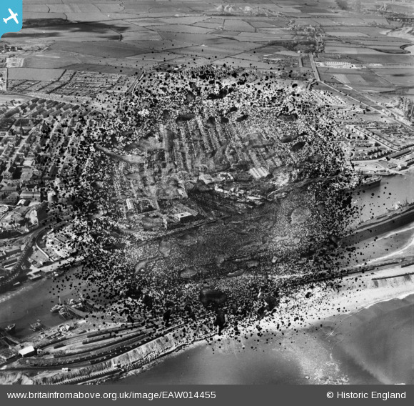
EAW014455 ENGLAND (1948). Blyth Harbour and the town, Blyth, 1948. This image has been produced from a damaged negative.
© Copyright OpenStreetMap contributors and licensed by the OpenStreetMap Foundation. 2026. Cartography is licensed as CC BY-SA.
Nearby Images (23)
EAW014455

EAW014445

EAW013063

EAW013064

EAW014453

EAW014446

EAW014454

EPW019752

EAW013074

EAW014447

EAW014456

EAW013068

EPW019748

EAW014449

EAW013066

EAW014451

EAW014458

EAW013070

EAW014450

EAW014448

EPW019747

EPW048840

EAW013067

Details
| Title | [EAW014455] Blyth Harbour and the town, Blyth, 1948. This image has been produced from a damaged negative. |
| Reference | EAW014455 |
| Date | 15-April-1948 |
| Link | |
| Place name | BLYTH |
| Parish | BLYTH |
| District | |
| Country | ENGLAND |
| Easting / Northing | 431309, 581907 |
| Longitude / Latitude | -1.5089117881907, 55.130486718686 |
| National Grid Reference | NZ313819 |
Pins

redmist |
Monday 4th of November 2019 11:38:35 PM |