
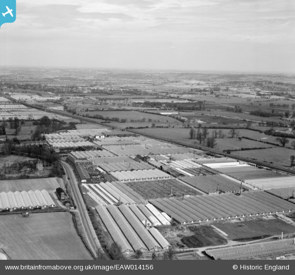
EAW014156 ENGLAND (1948). Turnford Hall Nurseries and environs, Turnford, from the south-west, 1948
© Copyright OpenStreetMap contributors and licensed by the OpenStreetMap Foundation. 2026. Cartography is licensed as CC BY-SA.
Nearby Images (2)
EAW014156

EAW014157

Details
| Title | [EAW014156] Turnford Hall Nurseries and environs, Turnford, from the south-west, 1948 |
| Reference | EAW014156 |
| Date | 7-April-1948 |
| Link | |
| Place name | TURNFORD |
| Parish | |
| District | |
| Country | ENGLAND |
| Easting / Northing | 536500, 204098 |
| Longitude / Latitude | -0.023757863927448, 51.718516262053 |
| National Grid Reference | TL365041 |
Pins

Matt Aldred edob.mattaldred.com |
Sunday 29th of November 2020 08:01:43 PM | |
|
Matt Aldred edob.mattaldred.com |
Sunday 29th of November 2020 08:01:29 PM | |

john |
Thursday 18th of May 2017 10:33:07 PM | |
|
Grk |
Monday 10th of March 2014 08:05:49 PM | |
|
Grk |
Tuesday 4th of February 2014 07:52:06 PM | |
|
Grk |
Tuesday 4th of February 2014 07:50:54 PM | |
|
Grk |
Tuesday 4th of February 2014 07:47:44 PM |