
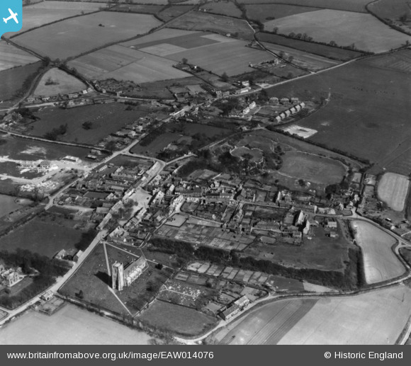
EAW014076 ENGLAND (1948). The town, Castle Acre, 1948. This image has been produced from a print.
© Copyright OpenStreetMap contributors and licensed by the OpenStreetMap Foundation. 2026. Cartography is licensed as CC BY-SA.
Nearby Images (7)
EAW014076

EAW014075

EAW014079

EAW014078

EAW014077

EAW014074

EAW014073

Details
| Title | [EAW014076] The town, Castle Acre, 1948. This image has been produced from a print. |
| Reference | EAW014076 |
| Date | 25-March-1948 |
| Link | |
| Place name | CASTLE ACRE |
| Parish | CASTLE ACRE |
| District | |
| Country | ENGLAND |
| Easting / Northing | 581826, 315163 |
| Longitude / Latitude | 0.69146301010781, 52.703209807484 |
| National Grid Reference | TF818152 |
Pins
Be the first to add a comment to this image!