
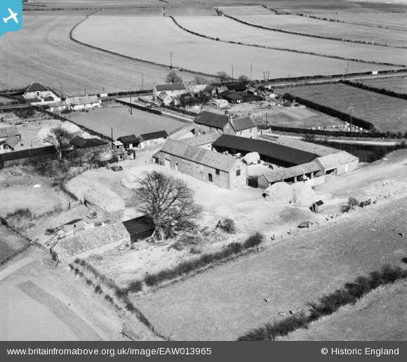
EAW013965 ENGLAND (1948). Cliff Farm and environs, Barmston, 1948
© Copyright OpenStreetMap contributors and licensed by the OpenStreetMap Foundation. 2026. Cartography is licensed as CC BY-SA.
Nearby Images (3)
EAW013965

EAW013966

EAW013964

Details
| Title | [EAW013965] Cliff Farm and environs, Barmston, 1948 |
| Reference | EAW013965 |
| Date | 23-March-1948 |
| Link | |
| Place name | BARMSTON |
| Parish | BARMSTON |
| District | |
| Country | ENGLAND |
| Easting / Northing | 516594, 459098 |
| Longitude / Latitude | -0.22040514037229, 54.014516305568 |
| National Grid Reference | TA166591 |
Pins
Be the first to add a comment to this image!