
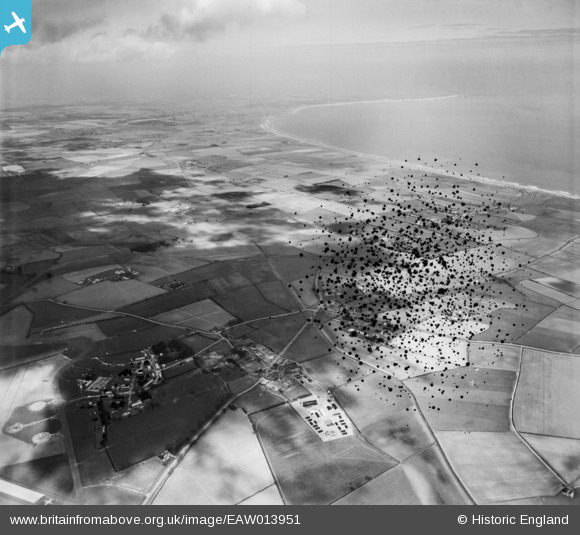
EAW013951 ENGLAND (1948). Countryside between former RAF Lissett and Bridlington Bay, Lissett, from the south-west, 1948. This image has been produced from a damaged negative.
© Copyright OpenStreetMap contributors and licensed by the OpenStreetMap Foundation. 2026. Cartography is licensed as CC BY-SA.
Nearby Images (2)
EAW013951

EAW013950

Details
| Title | [EAW013951] Countryside between former RAF Lissett and Bridlington Bay, Lissett, from the south-west, 1948. This image has been produced from a damaged negative. |
| Reference | EAW013951 |
| Date | 23-March-1948 |
| Link | |
| Place name | LISSETT |
| Parish | ULROME |
| District | |
| Country | ENGLAND |
| Easting / Northing | 514679, 458129 |
| Longitude / Latitude | -0.24998438855611, 54.006239324939 |
| National Grid Reference | TA147581 |
Pins

redmist |
Saturday 3rd of November 2018 11:35:56 PM | |
|
redmist |
Saturday 3rd of November 2018 10:57:18 PM |