
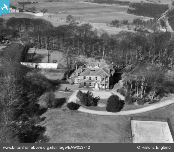
EAW013742 ENGLAND (1948). Bardon Grange, Weetwood, 1948. This image has been produced from a print.
© Copyright OpenStreetMap contributors and licensed by the OpenStreetMap Foundation. 2025. Cartography is licensed as CC BY-SA.
Nearby Images (7)
EAW013742

EAW013738

EAW013736

EAW013737

EAW013735

EAW013732

EAW013741

Details
| Title | [EAW013742] Bardon Grange, Weetwood, 1948. This image has been produced from a print. |
| Reference | EAW013742 |
| Date | 11-March-1948 |
| Link | |
| Place name | WEETWOOD |
| Parish | |
| District | |
| Country | ENGLAND |
| Easting / Northing | 427452, 437797 |
| Longitude / Latitude | -1.5828038851685, 53.835491877876 |
| National Grid Reference | SE275378 |
Pins
Be the first to add a comment to this image!