
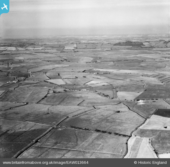
EAW013664 ENGLAND (1948). Romney Marsh, Burmarsh, from the south, 1948
© Copyright OpenStreetMap contributors and licensed by the OpenStreetMap Foundation. 2026. Cartography is licensed as CC BY-SA.
Nearby Images (2)
EAW013664

EAW013663

Details
| Title | [EAW013664] Romney Marsh, Burmarsh, from the south, 1948 |
| Reference | EAW013664 |
| Date | 10-March-1948 |
| Link | |
| Place name | BURMARSH |
| Parish | BURMARSH |
| District | |
| Country | ENGLAND |
| Easting / Northing | 608865, 129896 |
| Longitude / Latitude | 0.97905276696418, 51.029881384013 |
| National Grid Reference | TR089299 |
Pins
Be the first to add a comment to this image!