
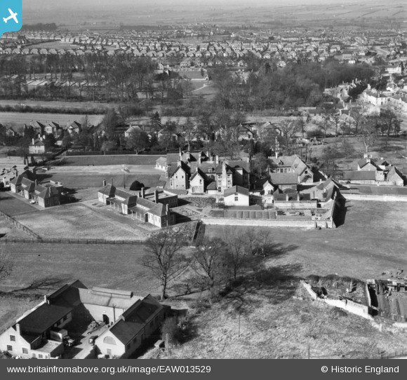
EAW013529 ENGLAND (1948). Rushden House Sanatorium and environs, Rushden, 1948. This image has been produced from a print.
© Copyright OpenStreetMap contributors and licensed by the OpenStreetMap Foundation. 2026. Cartography is licensed as CC BY-SA.
Nearby Images (12)
EAW013529

EAW013527

EAW013522

EAW013523

EAW013525

EAW013521

EAW013526

EAW013528

EAW013520

EAW013531

EAW013524

EAW013530

Details
| Title | [EAW013529] Rushden House Sanatorium and environs, Rushden, 1948. This image has been produced from a print. |
| Reference | EAW013529 |
| Date | 9-March-1948 |
| Link | |
| Place name | RUSHDEN |
| Parish | RUSHDEN |
| District | |
| Country | ENGLAND |
| Easting / Northing | 495980, 266014 |
| Longitude / Latitude | -0.59282911460106, 52.283483321531 |
| National Grid Reference | SP960660 |
Pins
Be the first to add a comment to this image!