
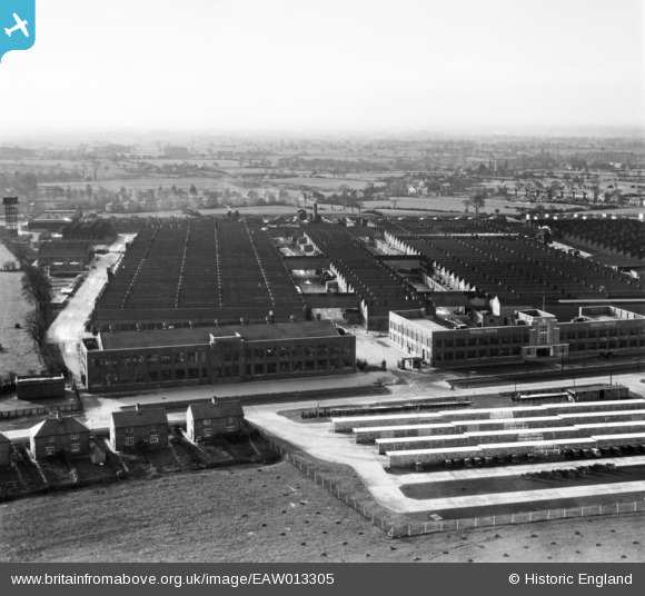
EAW013305 ENGLAND (1948). Rolls Royce Factory off Pym's Lane, Crewe, from the north, 1948
© Copyright OpenStreetMap contributors and licensed by the OpenStreetMap Foundation. 2026. Cartography is licensed as CC BY-SA.
Nearby Images (10)
EAW013305

EAW013306

EAW013307

EAW013312

EAW013304

EAW013303

EAW013302

EAW013301

EAW013311

EAW013310

Details
| Title | [EAW013305] Rolls Royce Factory off Pym's Lane, Crewe, from the north, 1948 |
| Reference | EAW013305 |
| Date | 12-February-1948 |
| Link | |
| Place name | CREWE |
| Parish | |
| District | |
| Country | ENGLAND |
| Easting / Northing | 368605, 356669 |
| Longitude / Latitude | -2.4690073497444, 53.105992775642 |
| National Grid Reference | SJ686567 |
