
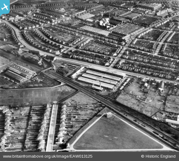
EAW013125 ENGLAND (1948). The Rolls Royce Drawing Offices on Elton Road and environs, Osmaston, 1948
© Copyright OpenStreetMap contributors and licensed by the OpenStreetMap Foundation. 2026. Cartography is licensed as CC BY-SA.
Nearby Images (6)
EAW013125

EAW013123

EPW045454

EPW045453

EAW013124

EAW013110

Details
| Title | [EAW013125] The Rolls Royce Drawing Offices on Elton Road and environs, Osmaston, 1948 |
| Reference | EAW013125 |
| Date | 4-February-1948 |
| Link | |
| Place name | OSMASTON |
| Parish | |
| District | |
| Country | ENGLAND |
| Easting / Northing | 435782, 333635 |
| Longitude / Latitude | -1.4680101840563, 52.898644933515 |
| National Grid Reference | SK358336 |
Pins

Chaddite |
Wednesday 13th of April 2022 08:42:57 PM | |
|
redmist |
Tuesday 16th of February 2021 08:12:01 PM | |

Sparky |
Sunday 15th of October 2017 10:30:54 AM | |
|
gBr |
Tuesday 10th of November 2015 08:23:34 PM | |
|
kath |
Monday 28th of April 2014 08:40:52 PM | |
|
kath |
Monday 28th of April 2014 08:40:12 PM | |
|
kath |
Monday 28th of April 2014 08:39:43 PM | |
|
kath |
Monday 28th of April 2014 08:38:49 PM | |
|
kath |
Monday 28th of April 2014 08:37:05 PM | |
|
Triggy |
Sunday 19th of January 2014 10:12:10 PM | |
|
Triggy |
Sunday 19th of January 2014 10:11:15 PM | |
|
Triggy |
Sunday 19th of January 2014 10:10:10 PM | |
not the nightingale It is the corner as you say across the road to the right is a garage and the the rialto night club on top of it but the nightingale pub was set back further in the car park than the building in the image and I think the building was an off license with living accommodation above and the Leadbetters owned it |
kevin tobin |
Monday 3rd of February 2014 09:01:38 AM |
Is that not the corner of Osmaston Road and Nightingale Road? If not then what is it? I thought that the Nightingale was on that corner. If wrong I stand corrected. Dave Trigg. 'Triggy'. |
Triggy |
Friday 28th of February 2014 10:28:29 PM |
|
Triggy |
Sunday 19th of January 2014 10:09:22 PM | |
|
Triggy |
Sunday 19th of January 2014 10:08:36 PM |