
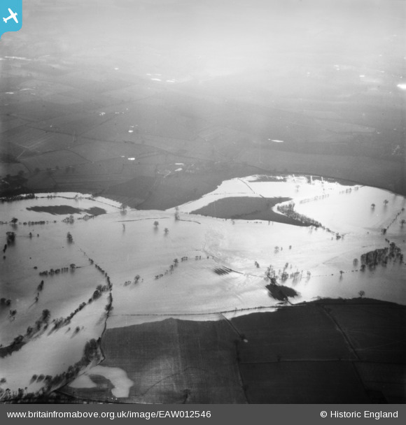
EAW012546 ENGLAND (1948). The River Severn in flood, Brompton, 1948
© Copyright OpenStreetMap contributors and licensed by the OpenStreetMap Foundation. 2025. Cartography is licensed as CC BY-SA.
Nearby Images (2)
EAW012546

EAW012639

Details
| Title | [EAW012546] The River Severn in flood, Brompton, 1948 |
| Reference | EAW012546 |
| Date | 14-January-1948 |
| Link | |
| Place name | BROMPTON |
| Parish | BERRINGTON |
| District | |
| Country | ENGLAND |
| Easting / Northing | 354708, 308187 |
| Longitude / Latitude | -2.6698480854203, 52.669151984178 |
| National Grid Reference | SJ547082 |
Pins
Be the first to add a comment to this image!