
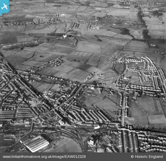
EAW012328 ENGLAND (1947). Earlestown Junction, Victoria Road and environs, Earlestown, 1947. This image has been produced from a print.
© Copyright OpenStreetMap contributors and licensed by the OpenStreetMap Foundation. 2026. Cartography is licensed as CC BY-SA.
Nearby Images (2)
EAW012328

EAW012344

Details
| Title | [EAW012328] Earlestown Junction, Victoria Road and environs, Earlestown, 1947. This image has been produced from a print. |
| Reference | EAW012328 |
| Date | 26-November-1947 |
| Link | |
| Place name | EARLESTOWN |
| Parish | |
| District | |
| Country | ENGLAND |
| Easting / Northing | 357654, 395801 |
| Longitude / Latitude | -2.6378100717087, 53.457002794618 |
| National Grid Reference | SJ577958 |
Pins

balloon no3 |
Wednesday 22nd of September 2021 08:35:24 PM | |
|
masdav |
Thursday 17th of December 2020 09:21:15 AM |