
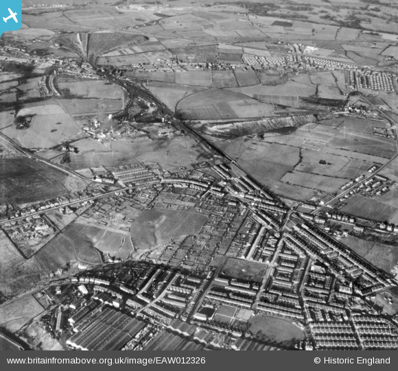
EAW012326 ENGLAND (1947). Lyme Pits and the town, Earlestown, 1947. This image has been produced from a print.
© Copyright OpenStreetMap contributors and licensed by the OpenStreetMap Foundation. 2026. Cartography is licensed as CC BY-SA.
Nearby Images (2)
EAW012326

 0°
0m
0°
0m
EAW012341
 347°
81m
347°
81m
Details
| Title | [EAW012326] Lyme Pits and the town, Earlestown, 1947. This image has been produced from a print. |
| Reference | EAW012326 |
| Date | 26-November-1947 |
| Link | |
| Place name | EARLESTOWN |
| Parish | |
| District | |
| Country | ENGLAND |
| Easting / Northing | 356788, 395794 |
| Longitude / Latitude | -2.6508517771013, 53.45686953733 |
| National Grid Reference | SJ568958 |
 78 Common Road