
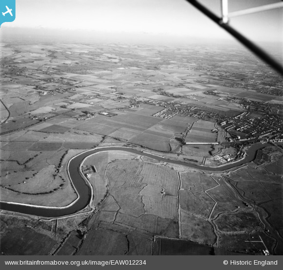
EAW012234 ENGLAND (1947). The River Arun and environs, Climping, from the south-west, 1947
© Copyright OpenStreetMap contributors and licensed by the OpenStreetMap Foundation. 2026. Cartography is licensed as CC BY-SA.
Nearby Images (2)
EAW012234

EAW012235

Details
| Title | [EAW012234] The River Arun and environs, Climping, from the south-west, 1947 |
| Reference | EAW012234 |
| Date | 24-November-1947 |
| Link | |
| Place name | CLIMPING |
| Parish | CLIMPING |
| District | |
| Country | ENGLAND |
| Easting / Northing | 501214, 102775 |
| Longitude / Latitude | -0.56311508580191, 50.815105526475 |
| National Grid Reference | TQ012028 |
