
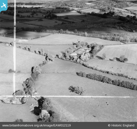
EAW012119 ENGLAND (1947). The Beatty Bros (Tenbury) Ltd Canned Goods Warehouse and the surrounding countryside, Ledbury, 1947. This image was marked by Aerofilms Ltd for photo editing.
© Copyright OpenStreetMap contributors and licensed by the OpenStreetMap Foundation. 2026. Cartography is licensed as CC BY-SA.
Nearby Images (8)
EAW012119
 Ltd Canned Goods Warehouse and the surrounding countryside, Ledbury, 1947. This image was marked by Aerofilms Ltd for photo editing.")
EAW012117
 Ltd Canned Goods Warehouse, Ledbury, 1947")
EAW012114
 Ltd Canned Goods Warehouse and the surrounding countryside, Ledbury, 1947. This image was marked by Aerofilms Ltd for photo editing.")
EAW012118
 Ltd Canned Goods Warehouse, Ledbury, 1947. This image was marked by Aerofilms Ltd for photo editing.")
EAW012113
 Ltd Canned Goods Warehouse, Ledbury, 1947. This image was marked by Aerofilms Ltd for photo editing.")
EAW012116
 Ltd Canned Goods Warehouse and Ledbury Viaduct, Ledbury, 1947. This image was marked by Aerofilms Ltd for photo editing.")
EAW012120
 Ltd Canned Goods Warehouse and Ledbury Viaduct, Ledbury, 1947. This image was marked by Aerofilms Ltd for photo editing.")
EAW012115
 Ltd Canned Goods Warehouse, Ledbury, 1947")
Details
| Title | [EAW012119] The Beatty Bros (Tenbury) Ltd Canned Goods Warehouse and the surrounding countryside, Ledbury, 1947. This image was marked by Aerofilms Ltd for photo editing. |
| Reference | EAW012119 |
| Date | 5-November-1947 |
| Link | |
| Place name | LEDBURY |
| Parish | LEDBURY |
| District | |
| Country | ENGLAND |
| Easting / Northing | 370195, 239161 |
| Longitude / Latitude | -2.4346788078428, 52.049617257406 |
| National Grid Reference | SO702392 |
