
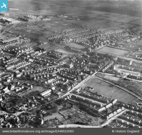
EAW012083 ENGLAND (1947). The residential area surrounding Queens Road and Dovecote Lane, Rylands, 1947
© Copyright OpenStreetMap contributors and licensed by the OpenStreetMap Foundation. 2026. Cartography is licensed as CC BY-SA.
Nearby Images (2)
EAW012083

EAW012082
 and the surrounding residential area, Rylands, 1947")
Details
| Title | [EAW012083] The residential area surrounding Queens Road and Dovecote Lane, Rylands, 1947 |
| Reference | EAW012083 |
| Date | 5-November-1947 |
| Link | |
| Place name | RYLANDS |
| Parish | |
| District | |
| Country | ENGLAND |
| Easting / Northing | 453202, 336368 |
| Longitude / Latitude | -1.2085927355527, 52.92177120553 |
| National Grid Reference | SK532364 |
Pins

NottmJas |
Wednesday 16th of April 2025 01:22:44 PM |