
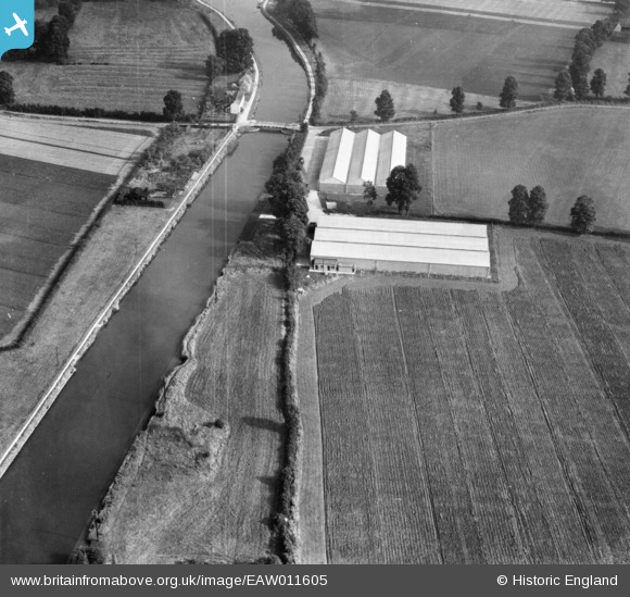
EAW011605 ENGLAND (1947). Industrial units off Church Lane beside the Gloucester and Sharpness Canal, Oatfield, 1947
© Copyright OpenStreetMap contributors and licensed by the OpenStreetMap Foundation. 2026. Cartography is licensed as CC BY-SA.
Nearby Images (9)
EAW011605

EAW011606

EAW011608

EAW011609

EAW011610

EAW011603

EAW011607

EAW011611

EAW011604

Details
| Title | [EAW011605] Industrial units off Church Lane beside the Gloucester and Sharpness Canal, Oatfield, 1947 |
| Reference | EAW011605 |
| Date | 6-October-1947 |
| Link | |
| Place name | OATFIELD |
| Parish | FRAMPTON ON SEVERN |
| District | |
| Country | ENGLAND |
| Easting / Northing | 375266, 208858 |
| Longitude / Latitude | -2.3585478898135, 51.777391481945 |
| National Grid Reference | SO753089 |
Pins

Sparky |
Saturday 14th of October 2017 10:02:40 PM |