
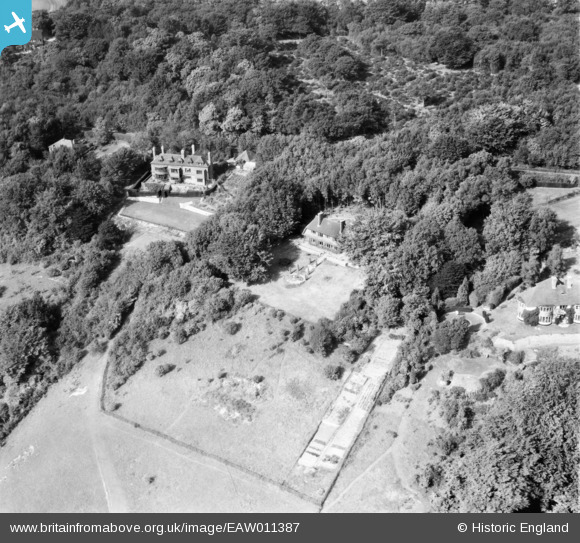
EAW011387 ENGLAND (1947). Hognore Hill, Down Lodge and Treetops on Gravesend Road, Wrotham, 1947
© Copyright OpenStreetMap contributors and licensed by the OpenStreetMap Foundation. 2025. Cartography is licensed as CC BY-SA.
Nearby Images (7)
EAW011387

EAW011385

EAW011381

EAW011382

EAW011384

EAW011383

EAW011386

Details
| Title | [EAW011387] Hognore Hill, Down Lodge and Treetops on Gravesend Road, Wrotham, 1947 |
| Reference | EAW011387 |
| Date | 1-October-1947 |
| Link | |
| Place name | WROTHAM |
| Parish | WROTHAM |
| District | |
| Country | ENGLAND |
| Easting / Northing | 562200, 160059 |
| Longitude / Latitude | 0.32774908384034, 51.315982410905 |
| National Grid Reference | TQ622601 |
Pins
Be the first to add a comment to this image!