
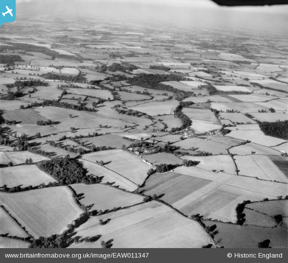
EAW011347 ENGLAND (1947). Swangles Farm and the surrounding countryside, Cold Christmas, from the south-west, 1947
© Copyright OpenStreetMap contributors and licensed by the OpenStreetMap Foundation. 2026. Cartography is licensed as CC BY-SA.
Nearby Images (3)
EAW011347

EAW011348

EAW011351

Details
| Title | [EAW011347] Swangles Farm and the surrounding countryside, Cold Christmas, from the south-west, 1947 |
| Reference | EAW011347 |
| Date | 1-October-1947 |
| Link | |
| Place name | COLD CHRISTMAS |
| Parish | THUNDRIDGE |
| District | |
| Country | ENGLAND |
| Easting / Northing | 537517, 216594 |
| Longitude / Latitude | -0.0040936447489047, 51.830564822955 |
| National Grid Reference | TL375166 |
Pins
Be the first to add a comment to this image!