
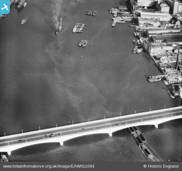
EAW011093 ENGLAND (1947). Waterloo Bridge, Lambeth, 1947
© Copyright OpenStreetMap contributors and licensed by the OpenStreetMap Foundation. 2026. Cartography is licensed as CC BY-SA.
Nearby Images (14)
EAW011093

EPW060608

EPW060607

EAW000536

EAW018349

EAW000494

EAW000538

EPW028604

EAW022342

EAW011092

EAW000495

EAW025715

EAW033367

EAW043611

Details
| Title | [EAW011093] Waterloo Bridge, Lambeth, 1947 |
| Reference | EAW011093 |
| Date | 30-September-1947 |
| Link | |
| Place name | LAMBETH |
| Parish | |
| District | |
| Country | ENGLAND |
| Easting / Northing | 530863, 180549 |
| Longitude / Latitude | -0.114115636075, 51.508215041606 |
| National Grid Reference | TQ309805 |
Pins

Alan McFaden |
Tuesday 28th of January 2014 04:12:09 PM | |
Ten out of ten, go to the top of the class |

brianbeckett |
Saturday 13th of June 2020 03:12:28 PM |
|
Alan McFaden |
Thursday 7th of November 2013 03:54:20 PM | |
|
Alan McFaden |
Thursday 7th of November 2013 03:53:40 PM |


User Comment Contributions

Waterloo Bridge, 21/05/2014 |

Class31 |
Saturday 24th of January 2015 08:25:57 AM |