
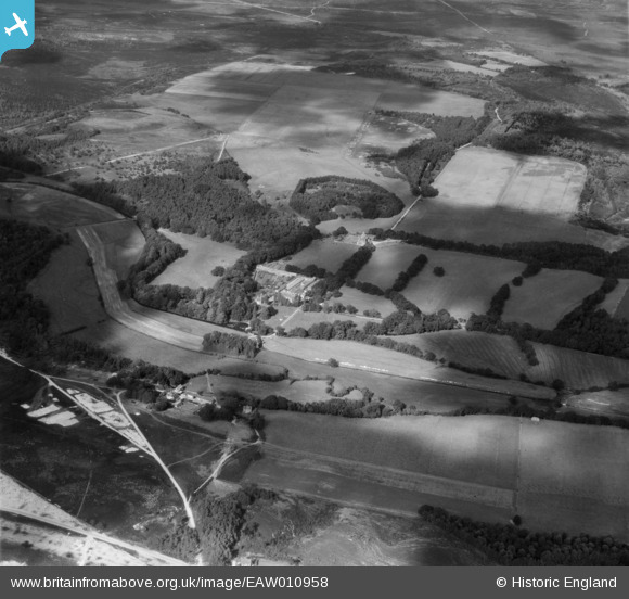
EAW010958 ENGLAND (1947). Trigon Hill and Lower Hyde Heath, Trigon Hill, from the south, 1947
© Copyright OpenStreetMap contributors and licensed by the OpenStreetMap Foundation. 2026. Cartography is licensed as CC BY-SA.
Nearby Images (4)
EAW010958

EAW010953

EAW010956

EAW010957

Details
| Title | [EAW010958] Trigon Hill and Lower Hyde Heath, Trigon Hill, from the south, 1947 |
| Reference | EAW010958 |
| Date | 24-September-1947 |
| Link | |
| Place name | TRIGON HILL |
| Parish | WAREHAM ST. MARTIN |
| District | |
| Country | ENGLAND |
| Easting / Northing | 388527, 88387 |
| Longitude / Latitude | -2.1624548677602, 50.694439746957 |
| National Grid Reference | SY885884 |
Pins
Be the first to add a comment to this image!