
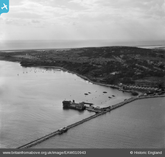
EAW010943 ENGLAND (1947). Bincleaves Groyne, Southlands and environs, Weymouth, from the east, 1947
© Copyright OpenStreetMap contributors and licensed by the OpenStreetMap Foundation. 2026. Cartography is licensed as CC BY-SA.
Nearby Images (3)
EAW010943

EAW010944

EAW010947

Details
| Title | [EAW010943] Bincleaves Groyne, Southlands and environs, Weymouth, from the east, 1947 |
| Reference | EAW010943 |
| Date | 24-September-1947 |
| Link | |
| Place name | WEYMOUTH |
| Parish | |
| District | |
| Country | ENGLAND |
| Easting / Northing | 368540, 77935 |
| Longitude / Latitude | -2.4445717243579, 50.599701263079 |
| National Grid Reference | SY685779 |
Pins

Matt Aldred edob.mattaldred.com |
Thursday 11th of March 2021 04:15:47 PM | |
|
Matt Aldred edob.mattaldred.com |
Friday 27th of November 2020 11:18:34 PM | |
|
Matt Aldred edob.mattaldred.com |
Friday 27th of November 2020 11:18:22 PM | |

Sparky |
Wednesday 9th of August 2017 12:02:16 PM | |

Class31 |
Tuesday 13th of October 2015 06:49:23 AM | |

Al |
Tuesday 21st of October 2014 12:29:50 AM | |
|
Al |
Tuesday 21st of October 2014 12:23:06 AM |

User Comment Contributions
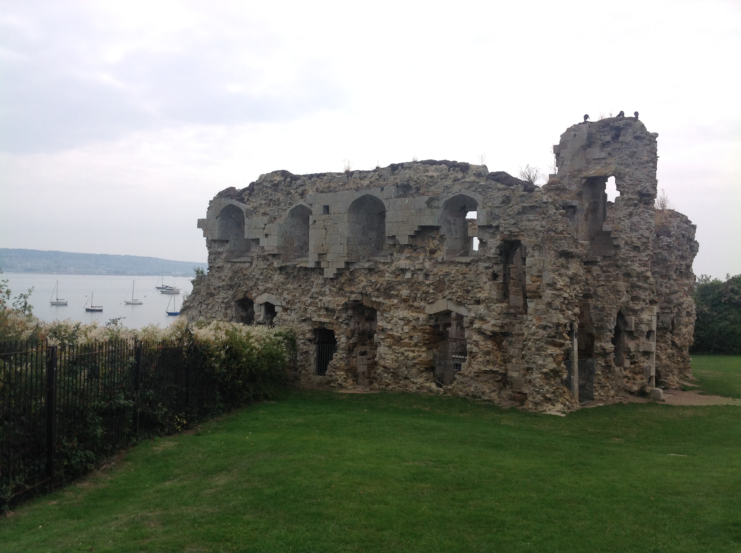
Sandsfoot Castle, 08/09/2014 |
Class31 |
Tuesday 13th of October 2015 06:51:42 AM |