
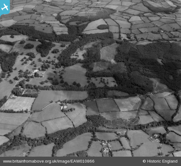
EAW010866 ENGLAND (1947). The grounds of Buckland House, Buckland Filleigh, 1947
© Copyright OpenStreetMap contributors and licensed by the OpenStreetMap Foundation. 2026. Cartography is licensed as CC BY-SA.
Nearby Images (2)
EAW010866

EAW010858

Details
| Title | [EAW010866] The grounds of Buckland House, Buckland Filleigh, 1947 |
| Reference | EAW010866 |
| Date | 20-September-1947 |
| Link | |
| Place name | BUCKLAND FILLEIGH |
| Parish | BUCKLAND FILLEIGH |
| District | |
| Country | ENGLAND |
| Easting / Northing | 246488, 108712 |
| Longitude / Latitude | -4.1813445117017, 50.856960745984 |
| National Grid Reference | SS465087 |
Pins
Be the first to add a comment to this image!