
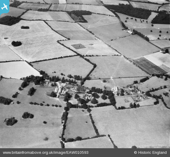
EAW010593 ENGLAND (1947). Hattingley Farm and surrounding countryside, Hattingley, 1947
© Copyright OpenStreetMap contributors and licensed by the OpenStreetMap Foundation. 2026. Cartography is licensed as CC BY-SA.
Nearby Images (7)
EAW010593

EAW010594

EAW010599

EAW010598

EAW010600

EAW010591

EAW010592

Details
| Title | [EAW010593] Hattingley Farm and surrounding countryside, Hattingley, 1947 |
| Reference | EAW010593 |
| Date | 3-September-1947 |
| Link | |
| Place name | HATTINGLEY |
| Parish | MEDSTEAD |
| District | |
| Country | ENGLAND |
| Easting / Northing | 464203, 137338 |
| Longitude / Latitude | -1.0823448582271, 51.131189194258 |
| National Grid Reference | SU642373 |
Pins

lumberjack |
Saturday 18th of October 2014 11:52:33 PM | |
|
lumberjack |
Wednesday 13th of August 2014 12:25:57 AM | |
|
lumberjack |
Wednesday 13th of August 2014 12:23:11 AM | |
|
totoro |
Wednesday 23rd of April 2014 06:38:58 PM | |
|
totoro |
Wednesday 23rd of April 2014 06:37:34 PM | |
|
totoro |
Wednesday 23rd of April 2014 06:31:14 PM | |
|
totoro |
Wednesday 23rd of April 2014 06:30:13 PM | |
|
totoro |
Wednesday 23rd of April 2014 06:29:09 PM | |
|
totoro |
Wednesday 23rd of April 2014 06:28:32 PM | |
|
totoro |
Wednesday 23rd of April 2014 06:27:48 PM | |
|
totoro |
Wednesday 23rd of April 2014 06:27:12 PM | |
Now Red Barn Farm |
totoro |
Wednesday 23rd of April 2014 07:09:16 PM |
|
totoro |
Wednesday 23rd of April 2014 06:25:55 PM | |
|
totoro |
Wednesday 23rd of April 2014 06:25:17 PM | |
|
totoro |
Wednesday 23rd of April 2014 06:24:05 PM | |
|
totoro |
Wednesday 23rd of April 2014 06:23:38 PM | |
|
totoro |
Wednesday 23rd of April 2014 06:23:20 PM | |
|
pd brambles |
Tuesday 12th of November 2013 10:06:58 PM | |
There is currently the remains of a structure at this point, with a footpath running close to it. |
totoro |
Wednesday 23rd of April 2014 07:12:08 PM |
Ah yes, old radar tracking system/ part of, for lasham airfield. |
lumberjack |
Saturday 18th of October 2014 11:49:08 PM |