
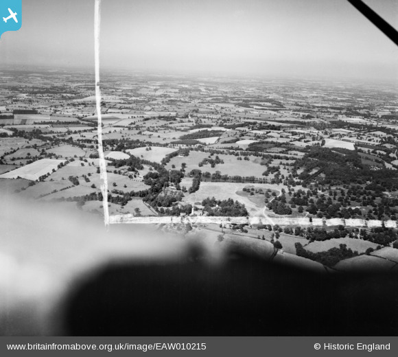
EAW010215 ENGLAND (1947). Weald Park, South Weald, from the south-east, 1947. This image was marked by Aerofilms Ltd for photo editing.
© Copyright OpenStreetMap contributors and licensed by the OpenStreetMap Foundation. 2026. Cartography is licensed as CC BY-SA.
Nearby Images (2)
EAW010215

EAW010228

Details
| Title | [EAW010215] Weald Park, South Weald, from the south-east, 1947. This image was marked by Aerofilms Ltd for photo editing. |
| Reference | EAW010215 |
| Date | 12-August-1947 |
| Link | |
| Place name | SOUTH WEALD |
| Parish | |
| District | |
| Country | ENGLAND |
| Easting / Northing | 557399, 193639 |
| Longitude / Latitude | 0.27386439509139, 51.619064614374 |
| National Grid Reference | TQ574936 |
Pins
Be the first to add a comment to this image!