
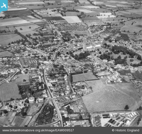
EAW009517 ENGLAND (1947). The city centre, Ely, from the south-west, 1947
© Copyright OpenStreetMap contributors and licensed by the OpenStreetMap Foundation. 2026. Cartography is licensed as CC BY-SA.
Nearby Images (2)
EAW009517

EPW001781

Details
| Title | [EAW009517] The city centre, Ely, from the south-west, 1947 |
| Reference | EAW009517 |
| Date | 18-August-1947 |
| Link | |
| Place name | ELY |
| Parish | ELY |
| District | |
| Country | ENGLAND |
| Easting / Northing | 553606, 279844 |
| Longitude / Latitude | 0.25777684782584, 52.394652736365 |
| National Grid Reference | TL536798 |
Pins

Matt Aldred edob.mattaldred.com |
Tuesday 27th of February 2024 09:08:00 AM | |

Big Nose |
Saturday 21st of March 2015 08:02:03 PM |