
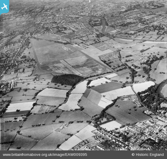
EAW009395 ENGLAND (1947). York Racecourse, York, 1947
© Copyright OpenStreetMap contributors and licensed by the OpenStreetMap Foundation. 2026. Cartography is licensed as CC BY-SA.
Nearby Images (2)
EAW009395

EAW009394

Details
| Title | [EAW009395] York Racecourse, York, 1947 |
| Reference | EAW009395 |
| Date | 17-August-1947 |
| Link | |
| Place name | YORK |
| Parish | |
| District | |
| Country | ENGLAND |
| Easting / Northing | 459376, 448812 |
| Longitude / Latitude | -1.0955595655661, 53.931824554288 |
| National Grid Reference | SE594488 |
Pins

redmist |
Thursday 1st of November 2018 11:24:01 PM | |
|
Chris Kolonko |
Friday 10th of August 2018 10:22:13 AM |