
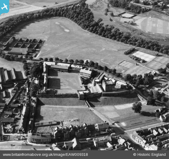
EAW009318 ENGLAND (1947). Carlisle Castle alongside The Sauceries, Carlisle, 1947. This image has been produced from a print.
© Copyright OpenStreetMap contributors and licensed by the OpenStreetMap Foundation. 2026. Cartography is licensed as CC BY-SA.
Nearby Images (9)
EAW009318

EAW014516

EAW009321

EAW009319

EAW009320

EAW014517

EAW009323

EAW009322

EPW014371

Details
| Title | [EAW009318] Carlisle Castle alongside The Sauceries, Carlisle, 1947. This image has been produced from a print. |
| Reference | EAW009318 |
| Date | 11-August-1947 |
| Link | |
| Place name | CARLISLE |
| Parish | |
| District | |
| Country | ENGLAND |
| Easting / Northing | 339692, 556269 |
| Longitude / Latitude | -2.9404837093079, 54.897422866556 |
| National Grid Reference | NY397563 |
