
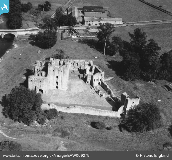
EAW009279 ENGLAND (1947). Brougham Castle, Brougham, 1947. This image has been produced from a print.
© Copyright OpenStreetMap contributors and licensed by the OpenStreetMap Foundation. 2025. Cartography is licensed as CC BY-SA.
Nearby Images (8)
EAW009279

EAW009281

EAW009278

EAW009280

EAW009277

EAW014522

EAW009276

EAW014523

Details
| Title | [EAW009279] Brougham Castle, Brougham, 1947. This image has been produced from a print. |
| Reference | EAW009279 |
| Date | 11-August-1947 |
| Link | |
| Place name | BROUGHAM |
| Parish | BROUGHAM |
| District | |
| Country | ENGLAND |
| Easting / Northing | 353734, 528998 |
| Longitude / Latitude | -2.717176914175, 54.653840139723 |
| National Grid Reference | NY537290 |
Pins
Be the first to add a comment to this image!