
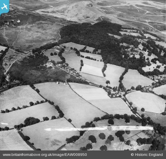
EAW008950 ENGLAND (1947). Valley Wood Place between Chobham Place Wood and Russell Hill, Chobham, 1947. This image was marked by Aerofilms Ltd for photo editing.
© Copyright OpenStreetMap contributors and licensed by the OpenStreetMap Foundation. 2025. Cartography is licensed as CC BY-SA.
Nearby Images (4)
EAW008950

EAW008948

EAW008949

EAW008952

Details
| Title | [EAW008950] Valley Wood Place between Chobham Place Wood and Russell Hill, Chobham, 1947. This image was marked by Aerofilms Ltd for photo editing. |
| Reference | EAW008950 |
| Date | 12-August-1947 |
| Link | |
| Place name | CHOBHAM |
| Parish | CHOBHAM |
| District | |
| Country | ENGLAND |
| Easting / Northing | 495952, 163656 |
| Longitude / Latitude | -0.62161615313246, 51.363355992461 |
| National Grid Reference | SU960637 |
Pins
Be the first to add a comment to this image!