
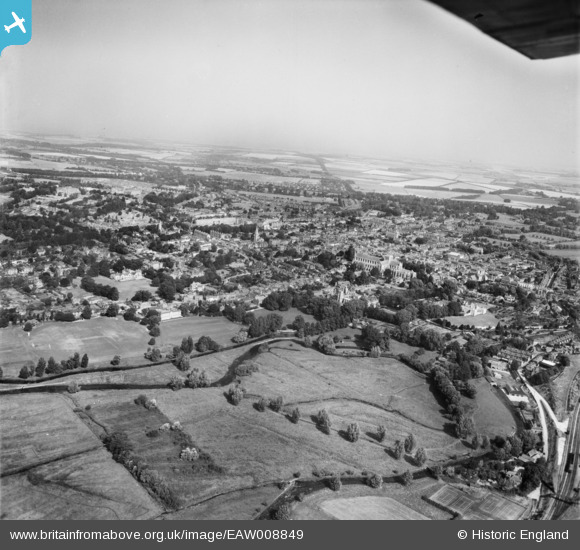
EAW008849 ENGLAND (1947). Ridding Meads and the city, Winchester, from the south-east, 1947
© Copyright OpenStreetMap contributors and licensed by the OpenStreetMap Foundation. 2026. Cartography is licensed as CC BY-SA.
Nearby Images (4)
EAW008849

EPW044867

EAW035265
, Winchester, 1951")
EAW035264

Details
| Title | [EAW008849] Ridding Meads and the city, Winchester, from the south-east, 1947 |
| Reference | EAW008849 |
| Date | 9-August-1947 |
| Link | |
| Place name | WINCHESTER |
| Parish | |
| District | |
| Country | ENGLAND |
| Easting / Northing | 448256, 128651 |
| Longitude / Latitude | -1.3114163167949, 51.054637741271 |
| National Grid Reference | SU483287 |

