
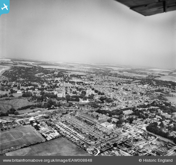
EAW008848 ENGLAND (1947). The city, Winchester, from the south-east, 1947
© Copyright OpenStreetMap contributors and licensed by the OpenStreetMap Foundation. 2026. Cartography is licensed as CC BY-SA.
Nearby Images (2)
EAW008848

EPW023326

Details
| Title | [EAW008848] The city, Winchester, from the south-east, 1947 |
| Reference | EAW008848 |
| Date | 9-August-1947 |
| Link | |
| Place name | WINCHESTER |
| Parish | |
| District | |
| Country | ENGLAND |
| Easting / Northing | 448682, 128881 |
| Longitude / Latitude | -1.3053070847813, 51.056670056594 |
| National Grid Reference | SU487289 |
Pins

Peter |
Wednesday 2nd of July 2025 08:12:36 AM | |
|
EC |
Sunday 8th of August 2021 04:10:47 PM | |
|
Peter |
Friday 20th of March 2015 08:12:10 PM | |

Alan McFaden |
Sunday 12th of January 2014 07:52:10 PM |

