
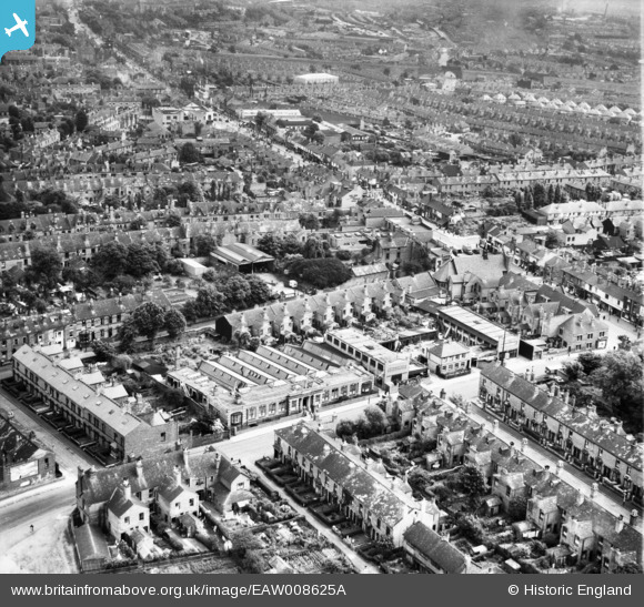
EAW008625A ENGLAND (1947). The W. H. Collins and Co Ltd Excelda Pencil Works and environs, Handsworth, from the north-west, 1947
© Copyright OpenStreetMap contributors and licensed by the OpenStreetMap Foundation. 2026. Cartography is licensed as CC BY-SA.
Nearby Images (6)
EAW008625A

EAW008625

EAW008628

EAW008627

EAW008630

EAW008629

Details
| Title | [EAW008625A] The W. H. Collins and Co Ltd Excelda Pencil Works and environs, Handsworth, from the north-west, 1947 |
| Reference | EAW008625A |
| Date | 1-August-1947 |
| Link | |
| Place name | HANDSWORTH |
| Parish | |
| District | |
| Country | ENGLAND |
| Easting / Northing | 404156, 289715 |
| Longitude / Latitude | -1.9387643053057, 52.504950046103 |
| National Grid Reference | SP042897 |
