
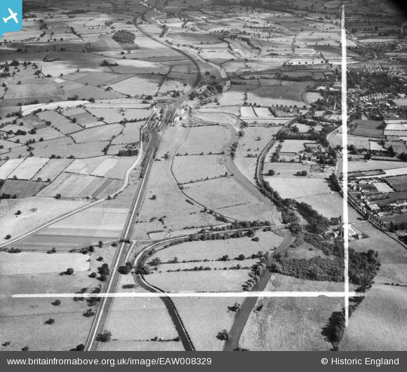
EAW008329 ENGLAND (1947). The River Trent and the Trent and Mersey Canal, Rugeley, from the north-west, 1947. This image was marked by Aerofilms Ltd for photo editing.
© Copyright OpenStreetMap contributors and licensed by the OpenStreetMap Foundation. 2026. Cartography is licensed as CC BY-SA.
Nearby Images (3)
EAW008329

EAW008330

EAW008321

Details
| Title | [EAW008329] The River Trent and the Trent and Mersey Canal, Rugeley, from the north-west, 1947. This image was marked by Aerofilms Ltd for photo editing. |
| Reference | EAW008329 |
| Date | 20-July-1947 |
| Link | |
| Place name | RUGELEY |
| Parish | RUGELEY |
| District | |
| Country | ENGLAND |
| Easting / Northing | 403897, 319522 |
| Longitude / Latitude | -1.9422285093251, 52.772939578206 |
| National Grid Reference | SK039195 |
Pins

PURCELL |
Saturday 17th of May 2014 10:20:25 AM | |
|
PURCELL |
Saturday 17th of May 2014 10:19:59 AM | |
|
PURCELL |
Saturday 17th of May 2014 10:19:24 AM | |
|
PURCELL |
Saturday 17th of May 2014 10:18:52 AM | |
|
PURCELL |
Saturday 17th of May 2014 10:18:23 AM |