
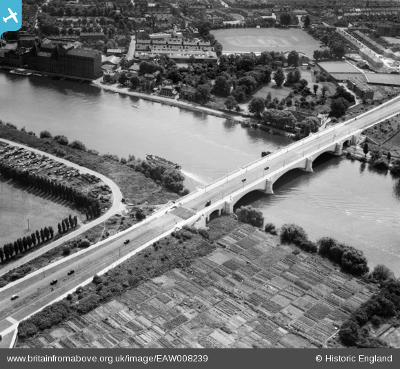
EAW008239 ENGLAND (1947). Chiswick Bridge, Chiswick, 1947
© Copyright OpenStreetMap contributors and licensed by the OpenStreetMap Foundation. 2026. Cartography is licensed as CC BY-SA.
Nearby Images (5)
EAW008239

EPW025847

EPW036970

EPW025816

EPW046831

Details
| Title | [EAW008239] Chiswick Bridge, Chiswick, 1947 |
| Reference | EAW008239 |
| Date | 16-July-1947 |
| Link | |
| Place name | CHISWICK |
| Parish | |
| District | |
| Country | ENGLAND |
| Easting / Northing | 520302, 176325 |
| Longitude / Latitude | -0.2676733873177, 51.472595652857 |
| National Grid Reference | TQ203763 |
Pins

Matt Aldred edob.mattaldred.com |
Thursday 15th of May 2025 08:33:29 AM | |
|
Matt Aldred edob.mattaldred.com |
Sunday 1st of August 2021 05:23:57 PM | |
|
Matt Aldred edob.mattaldred.com |
Sunday 1st of August 2021 05:23:44 PM | |

Sparky |
Sunday 1st of October 2017 09:09:44 PM | |
|
Sparky |
Sunday 1st of October 2017 09:09:05 PM | |
|
Sparky |
Sunday 1st of October 2017 09:08:27 PM | |
|
Sparky |
Sunday 1st of October 2017 09:00:33 PM | |

Wordy |
Sunday 4th of May 2014 04:48:37 PM |