
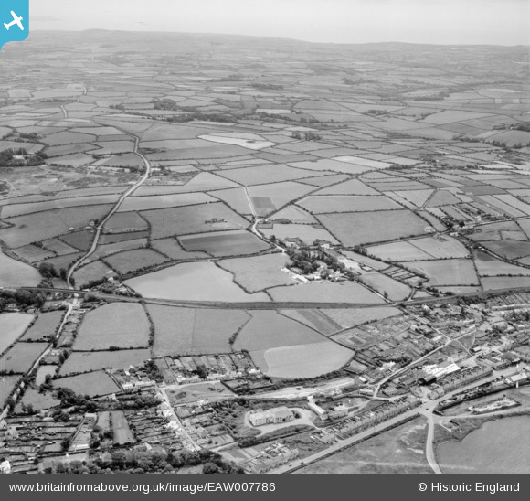
EAW007786 ENGLAND (1947). Copperhouse, Trevassack and countryside around Wheal Alfred, Hayle, from the north,1947
© Copyright OpenStreetMap contributors and licensed by the OpenStreetMap Foundation. 2026. Cartography is licensed as CC BY-SA.
Nearby Images (3)
EAW007786

EPW039848

EAW007779

Details
| Title | [EAW007786] Copperhouse, Trevassack and countryside around Wheal Alfred, Hayle, from the north,1947 |
| Reference | EAW007786 |
| Date | 22-June-1947 |
| Link | |
| Place name | HAYLE |
| Parish | HAYLE |
| District | |
| Country | ENGLAND |
| Easting / Northing | 157163, 37860 |
| Longitude / Latitude | -5.4025329634907, 50.190261564545 |
| National Grid Reference | SW572379 |
Pins

redmist |
Tuesday 14th of July 2020 08:56:29 PM | |
|
redmist |
Tuesday 14th of July 2020 08:29:24 PM | |
|
Ritchiet |
Wednesday 9th of January 2019 07:05:36 PM | |
|
Ritchiet |
Wednesday 9th of January 2019 06:58:50 PM | |
|
Ritchiet |
Wednesday 9th of January 2019 06:58:15 PM | |
|
Ritchiet |
Wednesday 9th of January 2019 06:44:43 PM | |
|
Peter Turvey |
Friday 4th of August 2017 11:47:02 AM | |
Not correct - it's the J & F Pool works, still standing Jan 2019! |
Ritchiet |
Wednesday 9th of January 2019 07:37:36 PM |
|
Peter Turvey |
Friday 4th of August 2017 11:46:23 AM |
