
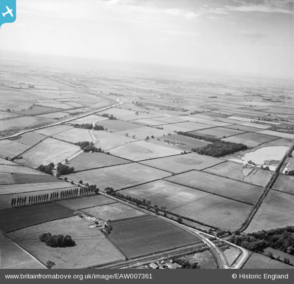
EAW007361 ENGLAND (1947). Kew's Holt and Burton Fen, Burton-by-Lincoln, from the south-east, 1947
© Copyright OpenStreetMap contributors and licensed by the OpenStreetMap Foundation. 2026. Cartography is licensed as CC BY-SA.
Nearby Images (2)
EAW007361

EAW007360

Details
| Title | [EAW007361] Kew's Holt and Burton Fen, Burton-by-Lincoln, from the south-east, 1947 |
| Reference | EAW007361 |
| Date | 24-June-1947 |
| Link | |
| Place name | BURTON-BY-LINCOLN |
| Parish | BURTON |
| District | |
| Country | ENGLAND |
| Easting / Northing | 494721, 373246 |
| Longitude / Latitude | -0.5802702403193, 53.247489248896 |
| National Grid Reference | SK947732 |
Pins
Be the first to add a comment to this image!