
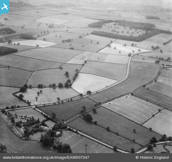
EAW007347 ENGLAND (1947). Camp Hill and Hexgreave Park, Farnsfield, 1947
© Copyright OpenStreetMap contributors and licensed by the OpenStreetMap Foundation. 2025. Cartography is licensed as CC BY-SA.
Nearby Images (2)
EAW007347

EAW007339

Details
| Title | [EAW007347] Camp Hill and Hexgreave Park, Farnsfield, 1947 |
| Reference | EAW007347 |
| Date | 24-June-1947 |
| Link | |
| Place name | FARNSFIELD |
| Parish | KIRKLINGTON |
| District | |
| Country | ENGLAND |
| Easting / Northing | 467104, 358245 |
| Longitude / Latitude | -0.99727483655223, 53.116862415231 |
| National Grid Reference | SK671582 |
Pins
Be the first to add a comment to this image!