
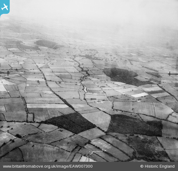
EAW007300 ENGLAND (1947). Countryside around Dilliner Wood, Hagley's Plantation and Roe Wood, Winkburn, from the north-west, 1947
© Copyright OpenStreetMap contributors and licensed by the OpenStreetMap Foundation. 2025. Cartography is licensed as CC BY-SA.
Nearby Images (2)
EAW007300

EAW007301

Details
| Title | [EAW007300] Countryside around Dilliner Wood, Hagley's Plantation and Roe Wood, Winkburn, from the north-west, 1947 |
| Reference | EAW007300 |
| Date | 24-June-1947 |
| Link | |
| Place name | WINKBURN |
| Parish | WINKBURN |
| District | |
| Country | ENGLAND |
| Easting / Northing | 469151, 360496 |
| Longitude / Latitude | -0.96620671229354, 53.136834148741 |
| National Grid Reference | SK692605 |
Pins
Be the first to add a comment to this image!