
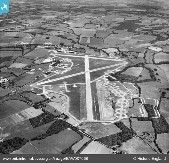
EAW007069 ENGLAND (1947). Membury Airfield alongside Membury Camp, Lambourn, 1947
© Copyright OpenStreetMap contributors and licensed by the OpenStreetMap Foundation. 2026. Cartography is licensed as CC BY-SA.
Nearby Images (5)
EAW007069

EAW007070

EAW007065

EAW007068

EAW007066

Details
| Title | [EAW007069] Membury Airfield alongside Membury Camp, Lambourn, 1947 |
| Reference | EAW007069 |
| Date | 11-June-1947 |
| Link | |
| Place name | LAMBOURN |
| Parish | LAMBOURN |
| District | |
| Country | ENGLAND |
| Easting / Northing | 430766, 175550 |
| Longitude / Latitude | -1.5569410149042, 51.477585421824 |
| National Grid Reference | SU308756 |
Pins
Be the first to add a comment to this image!