
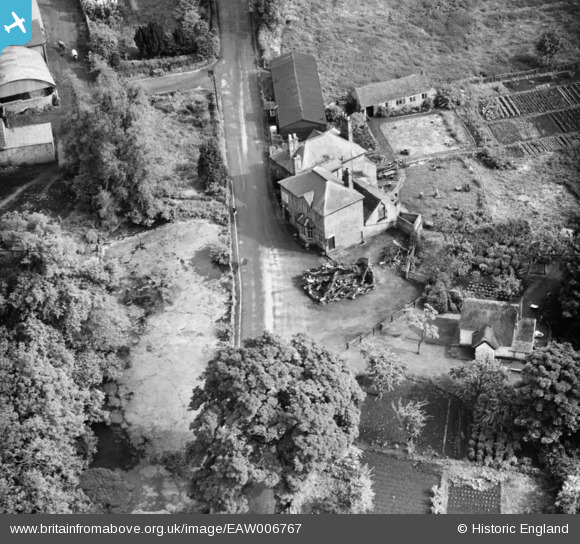
EAW006767 ENGLAND (1947). The Kynnersley Arms, Leighton, 1947
© Copyright OpenStreetMap contributors and licensed by the OpenStreetMap Foundation. 2025. Cartography is licensed as CC BY-SA.
Nearby Images (4)
EAW006767

EAW006765

EAW006768

EAW006766

Details
| Title | [EAW006767] The Kynnersley Arms, Leighton, 1947 |
| Reference | EAW006767 |
| Date | 28-May-1947 |
| Link | |
| Place name | LEIGHTON |
| Parish | LEIGHTON AND EATON CONSTANTINE |
| District | |
| Country | ENGLAND |
| Easting / Northing | 361043, 305565 |
| Longitude / Latitude | -2.575852041938, 52.646071900986 |
| National Grid Reference | SJ610056 |
Pins
Be the first to add a comment to this image!